

NEWS
Welcome to the All Sat Communications News section! Here, you’ll find valuable information and updates related to marine and outdoor safety, satellite communication technology, and essential products for your adventures on the water and ashore.
Staying informed about safety procedures and the latest advancements in communication technology is crucial. Our aim is to provide you with insightful articles, news updates, rescue stories and helpful tips to ensure you have a safe and enjoyable time exploring.
Remember, knowledge is power, and being prepared can make all the difference in an emergency situation.
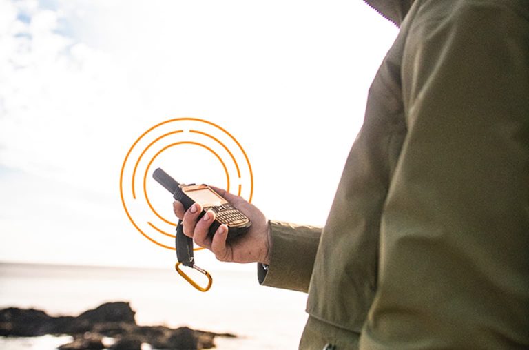
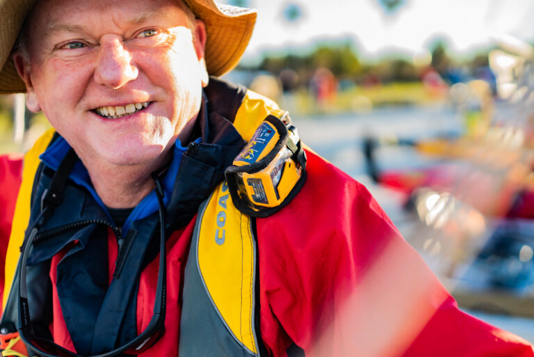
Product Spotlight: SPOT X
PRODUCT SPOTLIGHT SPOT X – 2 Way Satellite Messenger Providing 2-way satellite messaging when you’re off the grid or beyond reliable cellular coverage – Ensuring you’re never truly alone. In the age of connectivity, staying in touch is more important…
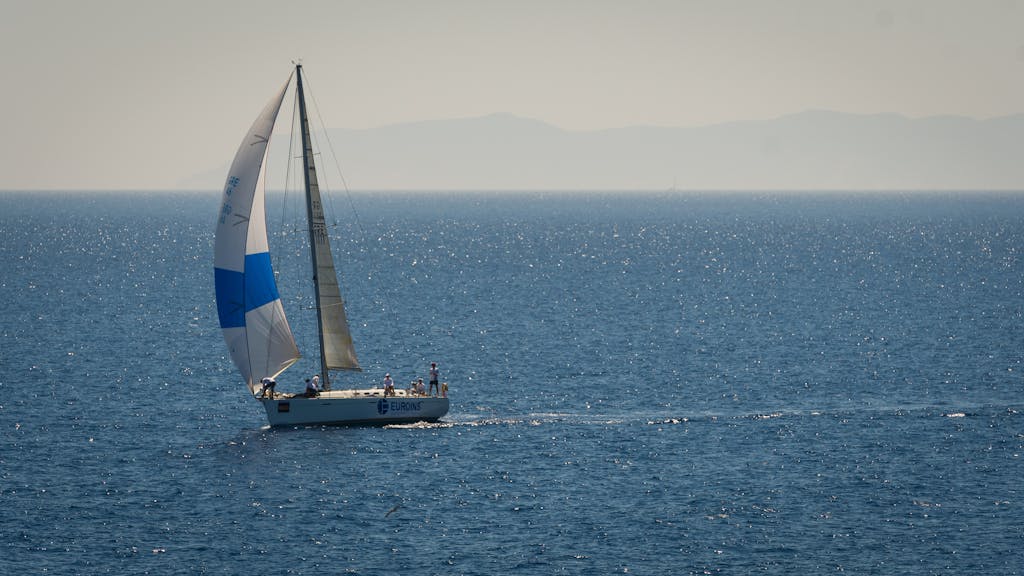
Strategies for safe boating
Stay safe on the water Strategies for safe boating from Ocean Signal Leading marine safety manufacturer advises boaters to carry an EPIRB and PLBs for the reassurance that they can alert search and rescue in an emergency Ocean Signal, a…

Digital Yacht Setting Sail with the 5G Xtream at Sanctuary Cove Boat Show 2024
Digital Yacht are thrilled to return to the Sanctuary Cove Boat Show in Australia since 2019. Join us from May 23rd to 26th, 2024, as we exhibit with ourselves, All Sat Communications. Look for us at Pavilion P146! Digital Yacht…
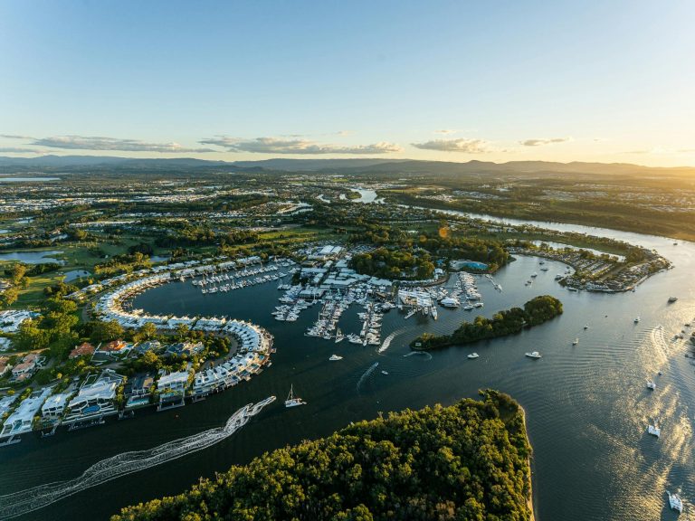
We are attending Sanctuary Cove International Boat Show! – SEE US AT STAND 146
The Sanctuary Cove International Boat Show is a premier event, showcasing an impressive array of marine products and boats and we will be there showcasing ours! From May 23-26, 2024, visitors can immerse themselves in the lifestyle of the marine…
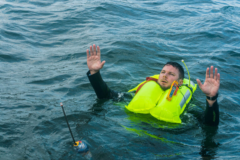
RescueME PLB3 Activation Video
See below for a video by Ocean Signal of how to active a PLB3. Notable features of the product: Find out more: https://oceansignal.com/products/plb3/
RESCUEME PLB AND MOB1 BATTERY REPLACEMENT INFORMATION
If your PLB1 or MOB1 battery has expired we can replace it. Expiry date is visible in the small window on top of the PLB1. All Sat are the only authorised battery replacement centre in Australia and they must be…
Survivor Stories

OFF ROAD
Last-Minute Purchase averted a Motorbike Disaster and saved a life
I was on a 5-day motorbike tour in Australia, riding from Canberra to Coffs Harbour, NSW, through remote dirt roads and country towns. This was my second tour, and I considered myself a fairly experienced, albeit average, rider. while riding somewhere between Port Macquarie and Kempsey in NSW, I was moving at a brisk pace and started paying less attention than required. I came in a little too hot into a corner, hit an exposed rock on the gravel road, and whooska—missed the bridge and went into the creek that I should have crossed instead. I happened to be recording at the time, so you can see a video of what occurred (here).
A few minutes passed, and I realized it was unlikely anyone would see me. I managed to retrieve my tail bag, also submerged and attached to the bike, where the PLB was situated. Once retrieved, I activated it and felt the sweet relief of knowing help was on the way once those little lights started flashing. The amazing thing about the PLB was that when the ambulance and police arrived, they already had all of my details and information about what I was doing, which I had loaded and registered with the PLB on that Sunday night before I left.
Overall, I’ll never travel remotely without a PLB again. For work, I spend a lot of time traveling in Western Queensland and up in the Cape. I previously hadn’t had a PLB with me, but I will now.
Thanks, Ocean Signal, for making such a great little life-saving device.
OFF ROAD
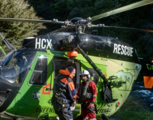
Explorer Saved by Ocean Signal’s rescueME PLB1 from Critical ATV Incident
My brother, an avid mountain climber, gave me an OceanSignal rescueMe PLB1 with the instructions, “Don’t go without it”!
I have a dear friend named Bill, and we’ve been exploring old mining roads and trails in the wilds of Eastern Oregon since the 1980s. One fateful day, on May 25, 2023, we found ourselves deep in a canyon in the high country. Bill, who was riding his ATV, suddenly lost control and it flipped over, trapping him underneath. Panic surged through me, but I remembered my brother’s advice, and without a second thought, I activated my PLB1.
BOATING
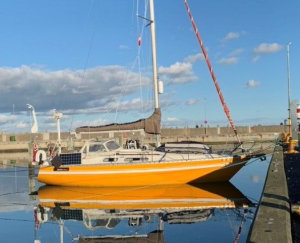
rescueMe EPIRB1 Activated after Mast Breaks During Atlantic Crossing
The calm of the evening was shattered by an ominous sound – a resounding snap that jolted our senses. Idun’s gaze fixated on the mast, which had begun leaning leeward. In disbelief, she called out to us, and together, we gathered in the cockpit. What we saw left us astounded and fearful: the mast had dramatically broken just above deck, its massive form now sprawled alongside the hull, mercilessly banging against it with the relentless rhythm of the waves.
In that instant, we knew we were in dire straits.
Swiftly, we set into motion a frantic but coordinated effort. With determination, we severed all lines, ensuring that everything ran free. Simultaneously, we activated the EPIRB (Emergency Position Indicating Rescue Beacon)
HIKING
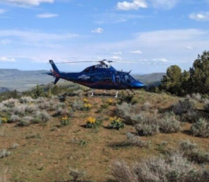
rescueME PLB 1 Saves Tramper from Health Scare atop Remote New Zealand Mountains
They noted the telltale signs – my ashen face and cold sweat – symptoms often linked to heart problems. Yet, as quickly as it happened, I seemed to recover, prompting no immediate action, aside from our vigilant nurse intermittently checking on me throughout the night. Then, it happened again.
With a sense of urgency, one of our companions initiated my rescueMe PLB 1 and positioned it on a bench in front of the hut. Time hung heavy as we waited for help, surrounded by nature’s silent grandeur. About half an hour later, a helicopter descended into the valley and touched down in front of the hut. A paramedic onboard conducted a thorough assessment, reassuring us that immediate treatment was unnecessary.
Location
18/111 Lewis Road,
Wantirna South, VIC, 3152
Australia
Follow us
Pages
We acknowledge the Traditional Owners of the land where we work and live. We pay our respects to Elders past and present. We celebrate the stories, culture and traditions of Aboriginal and Torres Strait Islander Elders of all communities who also work and live on this land.